Miami to Curacao on AA Flight 1879, 30 December, 2002
Photos by W0CG
| Caribbean
Contesting Consortium Miami to Curacao on AA Flight 1879, 30 December, 2002 Photos by W0CG |
|
|
Return to Home Page |
|
|
|
|
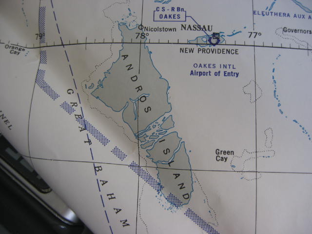
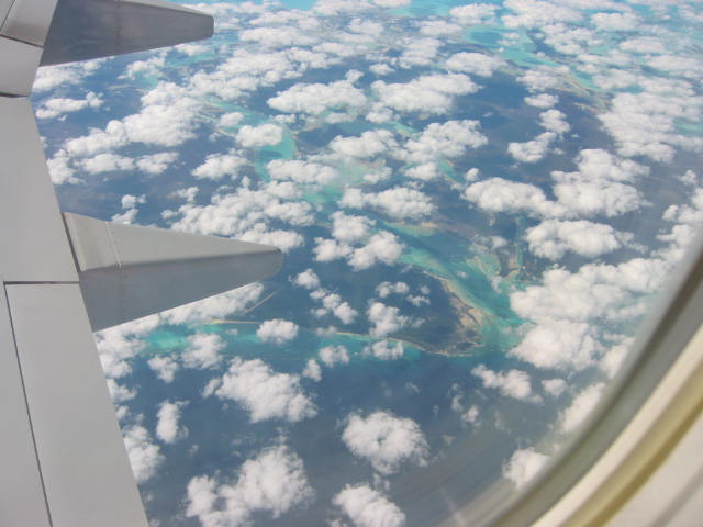
Andors Island, Bahamas, about 20 minutes after departing MIA |
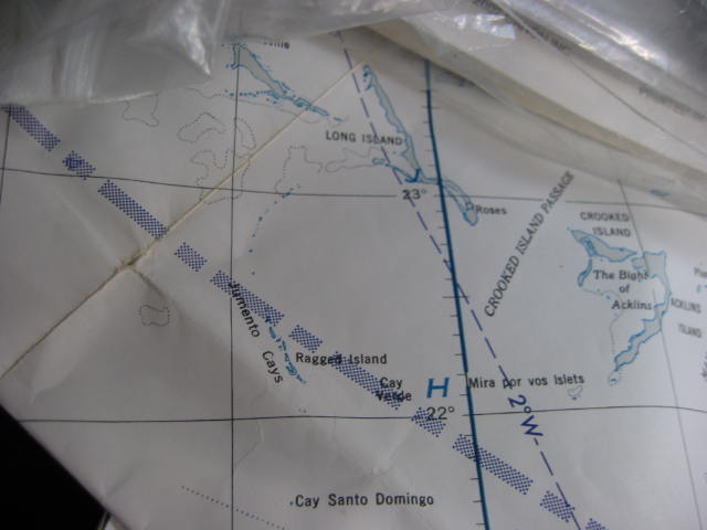
Here's Andros -- you can see the inlet on the east central part of the coast from the map at the left. |
 |
 |
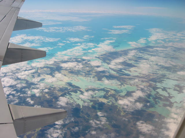
Continuing southeast across Andros Island |
Continuing southeast across Andros Island |
 |
 |
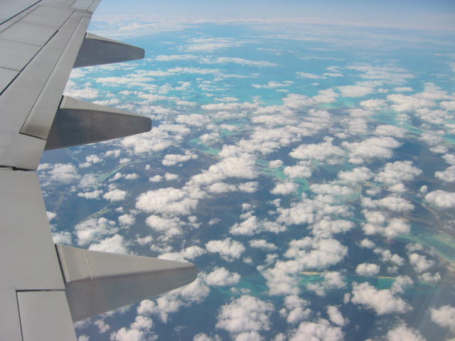
Jumento Cays appear in the photo at the right. |
Jumento Cays, Bahamas (above), looking west. |
 |
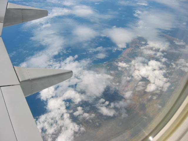 |
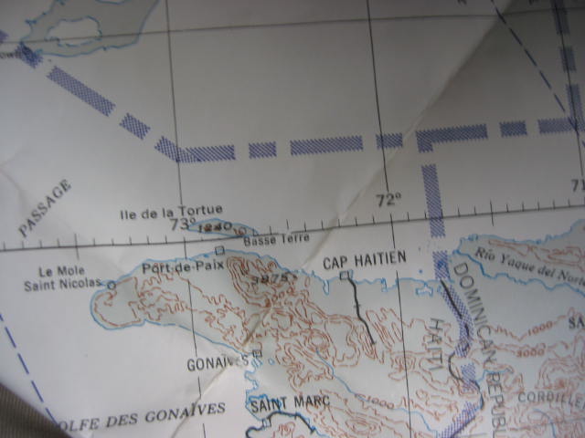
Landfall over Haiti is pictured at the right. |
Northwest Haiti |
 |
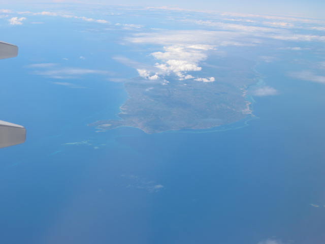 |
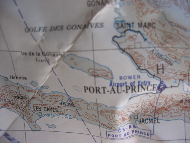
Ile de la Gonave is in the photo at the right. |
Ile de La Gonave, Haiti, looking west. |
 |
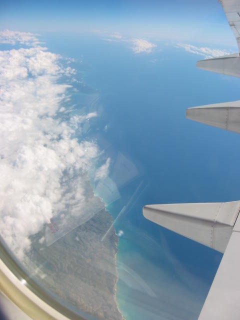 |
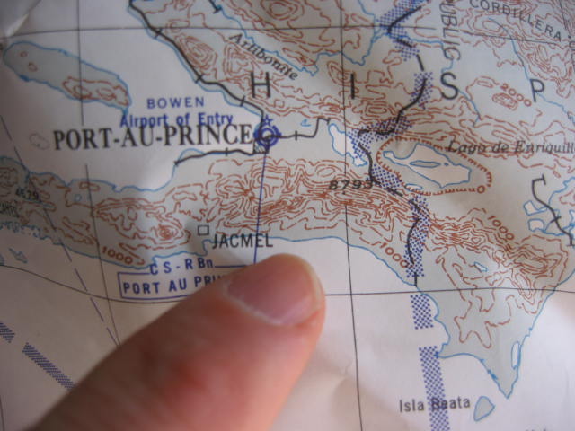
Departing Haiti on the southwest coast, pictured at the right. |
Feet wet leaving Haiti -- 500 more miles of water to Curacao |
 |
 |
|
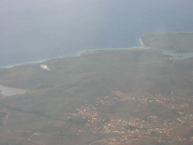
Curacao: Santa Marta Bay at the top right, Signal Point in the center of the coast, and the village of Soto at the bottom. (Looking southwest.) |
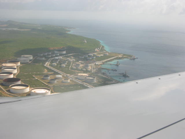
Petroleum bunkerage on the south central coast of Curacao -- a foundation of Curacao's economy. |
 |
 |
|
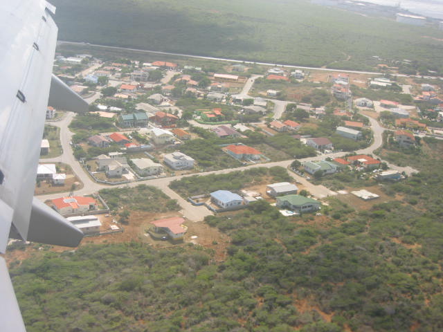
Part of the Groteberg subdivision on Curacao about 2 miles from touchdown. |
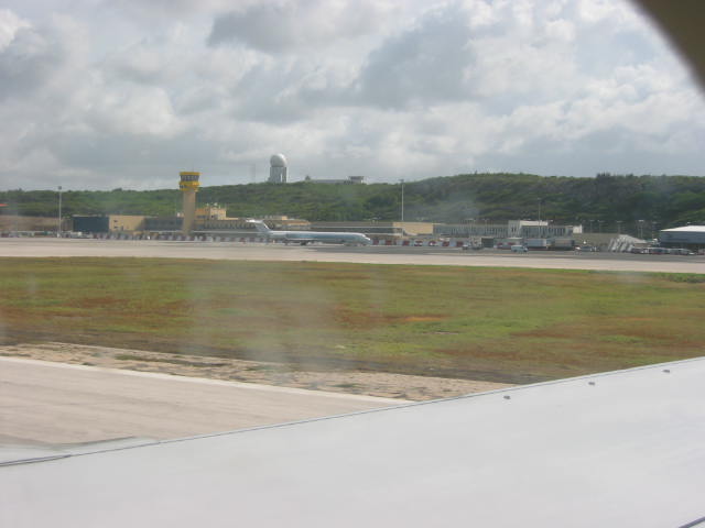
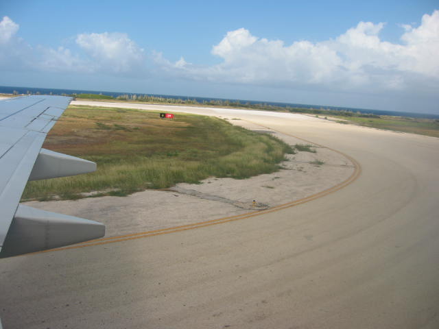
Touchdown: Runway 11-29 is the longest (11,000 ft) in the Caribbean |
 |
|
|
The Magic of Jetsetting: It's summer on 30 December, 2002!! |